Earth from Orbit 2012
NASA's fleet of Earth-observing satellites constantly circle the globe, completing their orbits every 90 minutes. They give us invaluable information about everything from our weather and climate, to the way we use our land, to the air we breathe. This video highlights some of the newest satellites in the fleet, including the versatile Suomi National Polar-orbiting (NPP) satellite, a partnership between NASA and the National Oceanic and Atmospheric Administration, and Aquarius, which measures sea surface salinity and is a joint project between NASA and the Space Agency of Argentina. While many of the images are "true color" or photorealistic in nature, this video also includes data visualizations, which help scientists see data in useful new ways, and computer models, which help us understand interconnected Earth systems and make projections into the future.
Curious about what images we used in this video? A full list can be found at www.nasa.gov/topics/earth/earthmonth/earth-from-orbit-2012.html
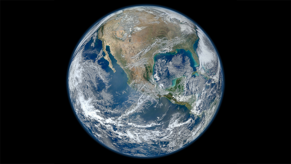
A look back at the best views of our planet from space in the last year, including true color satellite images, Earth science data visualizations, time lapses from the International Space Station, and computer models.
Credits
Please give credit for this item to:
NASA's Goddard Space Flight Center
-
Producer
- Jefferson Beck (USRA)
Release date
This page was originally published on Tuesday, April 2, 2013.
This page was last updated on Wednesday, May 3, 2023 at 1:52 PM EDT.
Tapes
This visualization originally appeared on the following tapes:-
Earth from Orbit 2012
(ID: 2013037)
Tuesday, April 2, 2013 at 4:00AM
Produced by - James Collier (NASA)
Related
- ID: 11268
 Produced Video