TRMM at 15: The Reign of Rain
When it rains it pours, goes the saying, and for the last 15 years, the data on tropical rainfall have poured in. NASA's Tropical Rainfall Measuring Mission (TRMM) was launched on Nov. 27, 1997, and for the last decade and a half has enabled precipitation science that has had far reaching applications across the globe.
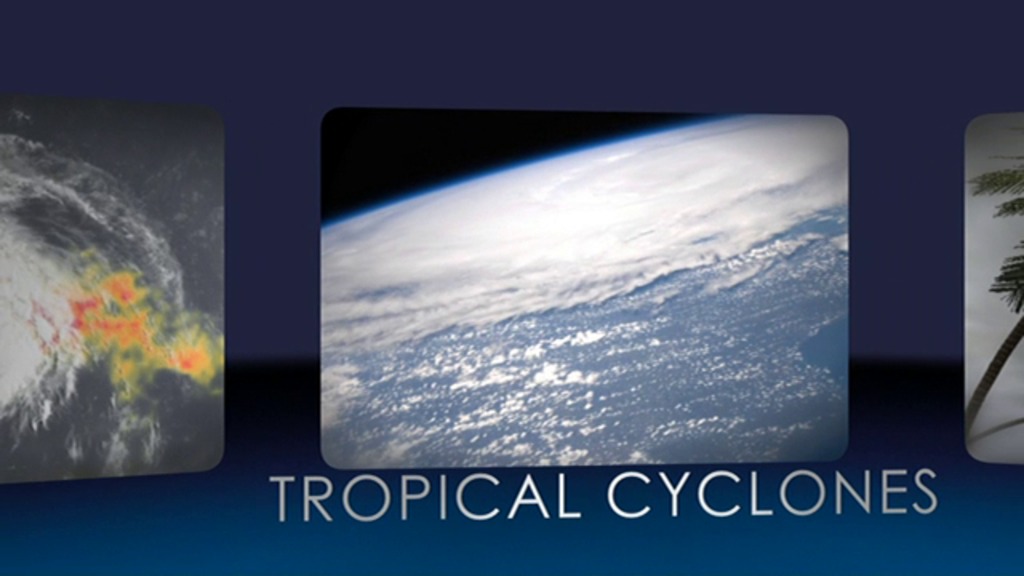
Rain is one of the most important natural processes on Earth, and nowhere does it rain more than across the tropics. Orbiting at an angle to the equator that covers 35 degrees north to 35 degrees south of the equator, TRMM carries five instruments that collectively measure the intensity of rainfall, characteristics of the water vapor and clouds, and lightning associated with the rain events. One of the instruments, the Precipitation Radar, built by NASA's mission partner the Japan Aerospace Exploration Agency (JAXA), is the first precipitation radar flown in space. It returns images of storms that for the first time have revealed close up three-dimensional views of how rainbands in tropical cyclones develop, potentially indicating how strong the storms might become.
TRMM Project Scientist Scott Braun looks back at the legacy of the Tropical Rainfall Measuring Mission and a few of the major scientific milestones the satellite has helped achieve.
For complete transcript, click here.
For More Information
Credits
Please give credit for this item to:
NASA's Goddard Space Flight Center
-
Animators
- Trent L. Schindler (USRA)
- Lori Perkins (NASA/GSFC)
- Greg Shirah (NASA/GSFC)
- Alex Kekesi (Global Science and Technology, Inc.)
- Horace Mitchell (NASA/GSFC)
- Walt Feimer (HTSI)
- Chris Meaney (HTSI)
-
Video editor
- Ryan Fitzgibbons (USRA)
-
Interviewee
- Scott Braun (NASA/GSFC)
-
Narrator
- Ellen T. Gray (ADNET Systems, Inc.)
-
Producer
- Ryan Fitzgibbons (USRA)
-
Scientists
- Scott Braun (NASA/GSFC)
- Dalia B Kirschbaum (NASA/GSFC)
- Arthur Hou (NASA/GSFC)
-
Videographers
- Rob Andreoli (Advocates in Manpower Management, Inc.)
- Ryan Fitzgibbons (USRA)
-
Writers
- Ryan Fitzgibbons (USRA)
- Ellen T. Gray (ADNET Systems, Inc.)
- Aries Keck (ADNET Systems, Inc.)
Release date
This page was originally published on Tuesday, November 27, 2012.
This page was last updated on Wednesday, May 3, 2023 at 1:52 PM EDT.
Missions
This visualization is related to the following missions:Series
This visualization can be found in the following series:Tapes
This visualization originally appeared on the following tapes:-
TRMM at 15
(ID: 2012119)
Tuesday, November 27, 2012 at 5:00AM
Datasets used in this visualization
-
[TRMM]
ID: 107
Note: While we identify the data sets used in these visualizations, we do not store any further details, nor the data sets themselves on our site.
Related
- ID: 11091
 Produced Video