Sizing Up Earth
At a given point in time, Earth usually seems stable. But over centuries, lands rise and sink, continents move and the balance of the ocean shifts. These changes are tracked through the science of geodesy, dedicated to measuring and precisely charting the size and shape of Earth. Geodesy began more than 2,000 years ago, when the Greek scholar Eratosthenes calculated the circumference of Earth with impressive accuracy. In modern geodesy, scientists use multiple techniques to map the world's ice sheets, watch sea level creep up and monitor the impact of earthquakes, droughts and floods. This animated video looks at the long history of geodesy and highlights some of the technologies NASA uses, such as radio telescopes and long-range lasers, to take the basic measure of our planet.

Look closely: Earth's shape and size isn't as constant as it seems.
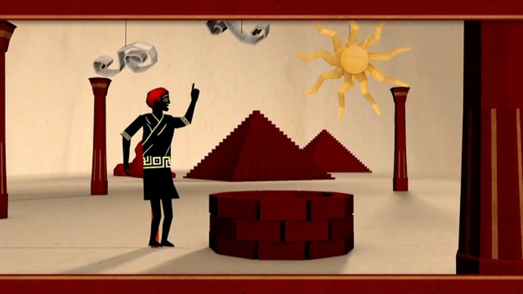
Geodesy has evolved over two millennia from simple geometry to include an ever-expanding range of new technologies.
One geodesy technique, laser ranging, can track the precise altitude of orbiting satellites and changes in Earth's size, shape and gravity.
Scientists aim radio telescopes at distant objects called quasars and measure how long it takes their radio signals to reach Earth.
Minor time differences in telescopes' detection of radio signals from quasars are used to map fine distances and tectonic movements on Earth.
With exact coordinates provided by geodesy, scientists can monitor the elevation changes in ice sheets and sea level.
For More Information
See NASA.gov
Credits
Please give credit for this item to:
NASA's Goddard Space Flight Center
-
Animator
- Chris Smith (HTSI)
-
Video editor
- Chris Smith (HTSI)
-
Narrator
- Steven J. Wall (MUNIZ)
-
Producer
- Chris Smith (HTSI)
-
Scientists
- Herbert Frey (NASA/GSFC)
- Frank Lemoine (NASA/GSFC)
- Stephen Merkowitz (NASA/GSFC)
-
Writer
- Elizabeth Zubritsky (ADNET Systems, Inc.)
Release date
This page was originally published on Tuesday, July 10, 2012.
This page was last updated on Wednesday, May 3, 2023 at 1:52 PM EDT.
Related
- ID: 10910
 Produced Video