TIRS - the Thermal Infrared Sensor on LDCM
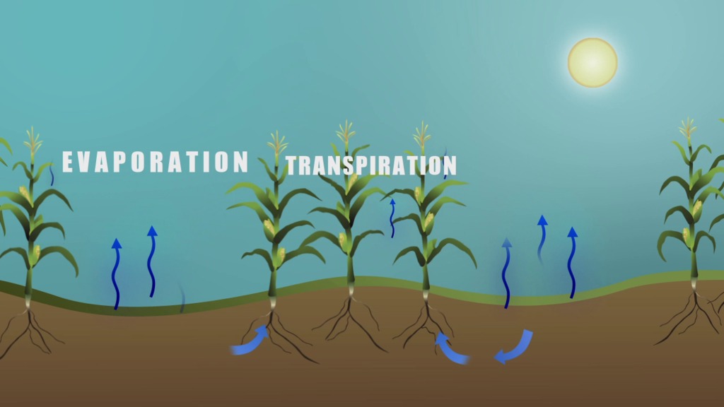
The Thermal InfraRed Sensor (TIRS) is one of the instruments on the Landsat Data Continuity Mission (LDCM) satellite. It will continue the archive of thermal imaging and support emerging applications such as evapotranspiration rate measurements for water management. TIRS is being built by NASA GSFC and has a three-year design life.
In February 2012, TIRS was shipped from GSFC to Orbital Sciences Corporation in Gilbert, Arizona to be integrated with the LDCM spacecraft.
TIRS operates in a pushbroom mode to create images in two IR bands, centered at 10.8 and 12.0 microns, over a 185 km swath with a 100 m spatial resolution. The TIRS design includes cryogenically-cooled QWIP detector arrays and a steerable mirror to choose among 3 views: nadir for Earth observations, on-board warm blackbody for calibration, and deep space for calibration. The TIRS data will be registered to the OLI data to create radiometrically, geometrically, and terrain-corrected 12-bit LDCM data products.
Overview of the Thermal Infrared Sensor (TIRS), one of the instruments on the Landsat Data Continuity Mission (LDCM).
For complete transcript, click here.
A timelapse of the Thermal Infrared Sensor(TIRS) instrument for the Landsat Data Continuity Mission (LDCM) being cleaned, bagged, and packed to ship to Orbital Sciences Corp, where TIRS will be integrated with the spacecraft.
Credits
Please give credit for this item to:
NASA/Goddard Space Flight Center
Landsat is a joint program of NASA and the USGS.
-
Animator
- Rachel Kreutzinger (USRA)
-
Video editor
- Matthew R. Radcliff (USRA)
-
Interviewees
- James R. Irons (NASA/GSFC)
- Elizabeth M. Forsbacka (NASA/GSFC)
- Veronica Otero (NASA/GSFC)
-
Narrator
- Ellen T. Gray (ADNET Systems, Inc.)
-
Producer
- Matthew R. Radcliff (USRA)
-
Scientist
- James R. Irons (NASA/GSFC)
-
Videographers
- Matthew R. Radcliff (USRA)
- Rob Andreoli (Advocates in Manpower Management, Inc.)
-
Writers
- Matthew R. Radcliff (USRA)
- Aries Keck (ADNET Systems, Inc.)
Release date
This page was originally published on Tuesday, February 14, 2012.
This page was last updated on Wednesday, May 3, 2023 at 1:53 PM EDT.
Missions
This visualization is related to the following missions:Series
This visualization can be found in the following series:Tapes
This visualization originally appeared on the following tapes:-
TIRS Overview
(ID: 2012011)
Tuesday, February 14, 2012 at 5:00AM
Produced by - Walt Feimer (HTSI)
Related
- ID: 10926
 Produced Video