A newer version of this visualization is available.
Landsat 8 (aka LDCM) Spacecraft Animations and Still Images
Landsat 8 (formerly known as LDCM, the Landsat Data Continuity Mission), a collaboration between NASA and the U.S. Geological Survey, will provide moderate-resolution (15 meter - 100 meter, depending on spectral frequency) measurements of the Earth's terrestrial and polar regions in the visible, near-infrared, short wave infrared, and thermal infrared. There are two instruments on the spacecraft, the Thermal InfraRed Sensor (TIRS) and the Operational Land Imager (OLI).
Landsat 8 continues the nearly 50-year long Landsat land imaging data set. In addition to widespread routine use for land use planning and monitoring on regional to local scales, support of disaster response and evaluations, and water use monitoring, Landsat 8 measurements directly serve NASA research in the focus areas of climate, carbon cycle, ecosystems, water cycle, biogeochemistry, and Earth surface/interior.
Animation of the Landsat 8 (formerly known as LDCM, the Landsat Data Continuity Mission) spacecraft in orbit around the Earth. The satellite will travel at 7.5 km/second, circling the globe every 99 minutes at an altitude of 438 miles. LDCM will image a swath 185 km in width and complete about 14 orbits each day, thereby imaging Earth's land every 16 days.

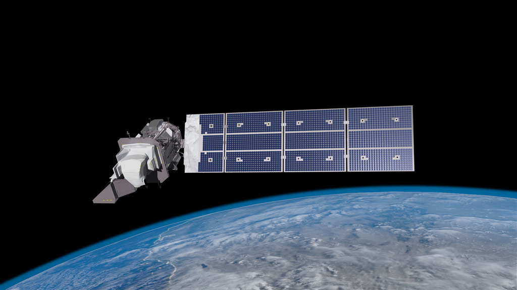
An artist's conception of the Landsat Data Continuity Mission (LDCM), the eigth satellite in the long-running Landsat program, flying over the US Gulf Coast.
Artist's image of the Landsat Data Continuity Mission (LDCM), the eigth Landsat satellite to be launched.
An artist's conception of the Landsat Data Continuity Mission (LDCM), the eigth satellite in the long-running Landsat program, as it observes the Gulf Coast of the US.
Animation of Landsat 8 (formerly known as LDCM, the Landsat Data Continuity Mission) spacecraft in orbit around the Earth, highlighting the nadir apertures of the instruments. The satellite will travel at 7.5 km/second, circling the globe every 99 minutes at an altitude of 438 miles. LDCM will image a swath 185 km in width and complete about 14 orbits each day, thereby imaging Earth's land every 16 days.
Second animation of the Landsat 8 (formerly known as LDCM, the Landsat Data Continuity Mission) spacecraft in orbit around the Earth. The satellite will travel at 7.5 km/second, circling the globe every 99 minutes at an altitude of 438 miles. LDCM will image a swath 185 km in width and complete about 14 orbits each day, thereby imaging Earth's land every 16 days.
Model of the Landsat Data Continuity Mission, rotating.
Artist's rendering of Landsat Data Continuity Mission (LDCM) from above
Artist's rendering of the Landsat Data Continuity Mission (LDCM) from the solar panel side.
Artisit's rendering of LDCM, showing the instruments (TIRS and OLI) and the solar panel.
Artist's rendering of LDCM showing the calibration ports of the instruments (TIRS and OLI).
Schematic line drawing of Landsat 8 spacecraft.
Credits
Please give credit for this item to:
NASA/Goddard Space Flight Center Conceptual Image Lab
-
Animators
- Rachel Kreutzinger (USRA)
- Tyler Chase (USRA)
-
Producer
- Matthew R. Radcliff (USRA)
-
Scientist
- James R. Irons (NASA/GSFC)
Release date
This page was originally published on Wednesday, October 5, 2011.
This page was last updated on Wednesday, May 3, 2023 at 1:53 PM EDT.
Series
This visualization can be found in the following series:Newer Versions
- ID: 13259
 Produced Video
Used as a Source In
- ID: 12544
 Produced Video
 - ID: 12276
 Produced Video