Laser Radar Animation
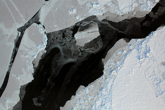
Laser and radar instruments aboard NASA aircraft provide measurements of the snow and ice surface and down to the bedrock under the ice. Lasers, with a shorter wavelength, measure the surface elevation of the snow or ice to within a fraction of an inch. Radar instruments utilize a longer wavelength and can penetrate the ice to "see" below the surface, providing a profile of ice characteristics and also the shape of the bedrock. This information is critical for understanding how and why the world's biggest ice masses are changing.
This fly-through animation show the IceBridge DC-8 aircraft and instruments aboard.
Credits
Please give credit for this item to:
NASA/Goddard Space Flight Center
-
Animator
- Megan Willy (IRC/UMBC)
-
Producer
- Michelle Williams (UMBC)
-
Scientists
- Lora Koenig (NASA/GSFC)
- Thorsten Markus (NASA/GSFC)
Release date
This page was originally published on Monday, April 5, 2010.
This page was last updated on Wednesday, May 3, 2023 at 1:54 PM EDT.
Tapes
This visualization originally appeared on the following tapes:-
Operation Ice Bridge (Greenland, Spring 2010) Video File 1
(ID: 2010017)
Thursday, March 18, 2010 at 4:00AM
Produced by - Richard Chen (NASA)
Related
- ID: 12178
 Produced Video