Earth
ID: 12321

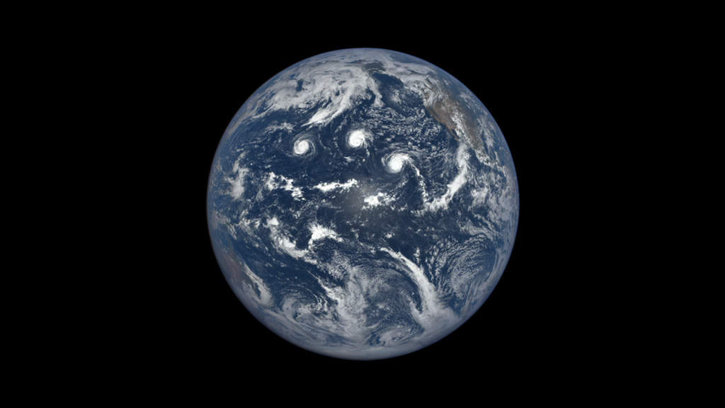
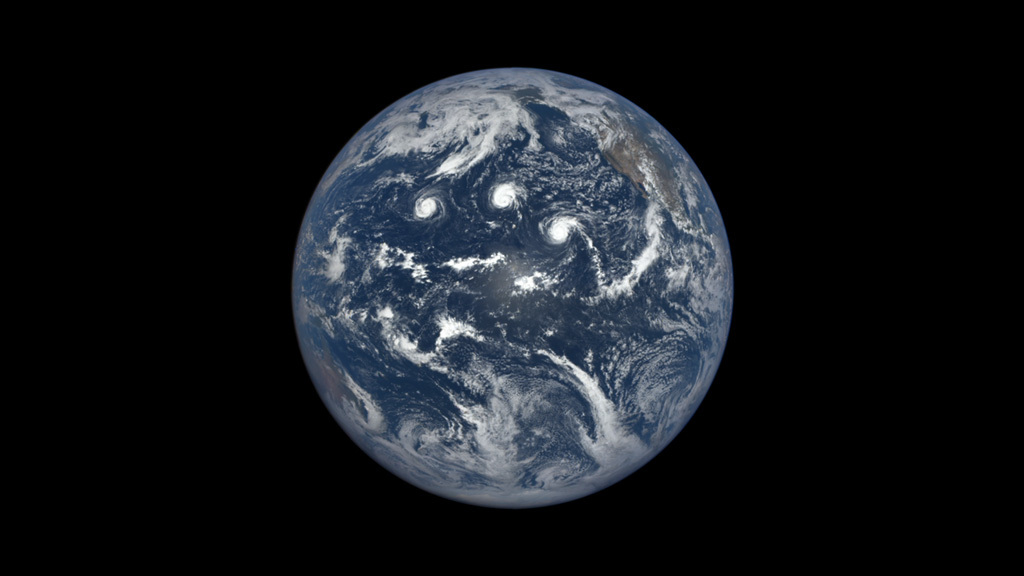
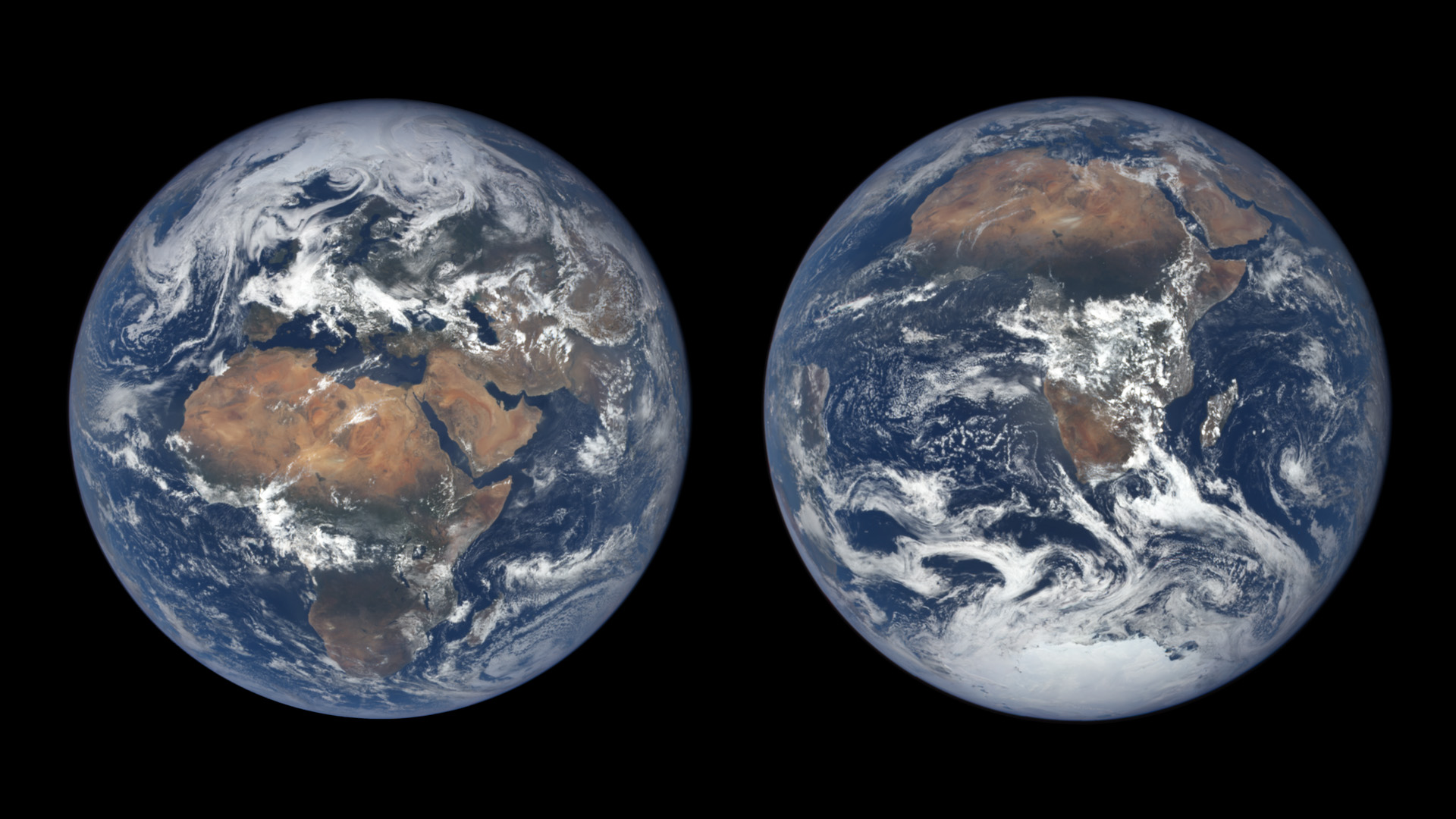
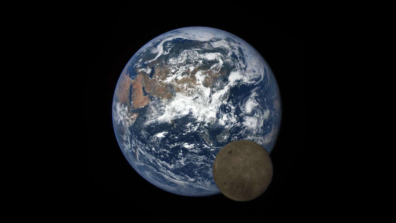
In the early 1970s, an Apollo astronaut traveling to the moon captured the first fully illuminated photo of Earth from space. Today, a NASA camera takes a similar image of Earth at least once every two hours. The camera, called EPIC, is stationed aboard NOAA’s DSCOVR satellite, which is located at a gravitational balance point between Earth and the sun approximately one million miles away. With the sunlit side of Earth in constant view, EPIC snaps a picture in multiple wavelengths of light as the planet turns beneath it. Since June 2015, the camera has beamed back thousands of images, providing a continuous, detailed look at our planet’s daily motions like never before. Watch the video to see a time-lapse of Earth created from images taken by EPIC over the course of a year.


One Year On Earth
Source Material

Story Credits
Lead Visualizer/Animator:
Joycelyn Thomson Jones (NASA/GSFC)
Visualizer/Animator:
Kayvon Sharghi (USRA)
Video Editor:
Kayvon Sharghi (USRA)
Narration:
Kayvon Sharghi (USRA)
Narrator:
Jay Herman (NASA/GSFC)
Producer:
Kayvon Sharghi (USRA)
Scientists:
Jay Herman (NASA/GSFC)
Adam Szabo (NASA/GSFC)
Alexander Marshak (NASA/GSFC)
Lead Writer:
Kayvon Sharghi (USRA)
Please give credit for this item to:
NASA's Goddard Space Flight Center
NASA's Goddard Space Flight Center
Short URL to share this page:
https://svs.gsfc.nasa.gov/12321
Keywords:
SVS >> App
NASA Science >> Earth
https://svs.gsfc.nasa.gov/12321
Keywords:
SVS >> App
NASA Science >> Earth


