World On Fire

There’s always some place on Earth that’s burning.
The 2016 wildfire season is off to a blazing start. To date, more than 29,000 wildfires have burned over 2.6 million acres in the United States alone. In other parts of the world, hot and dry conditions fueled by El Niño have primed places like the southern Amazon for heavy wildfire activity. Scientists say the region is the driest it’s been in more than a decade. Using data collected by satellites, NASA monitors fires across the globe. The space-based views of actively burning fires help fire managers on the ground locate potentially hazardous blazes. The observations also aid researchers in tracking the spread of smoke and ash from fires, which can significantly impact air quality. Watch the video to see a data visualization showing fires detected from space over the course of a year.
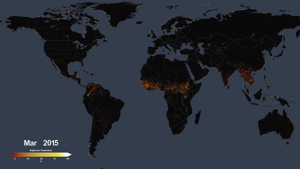
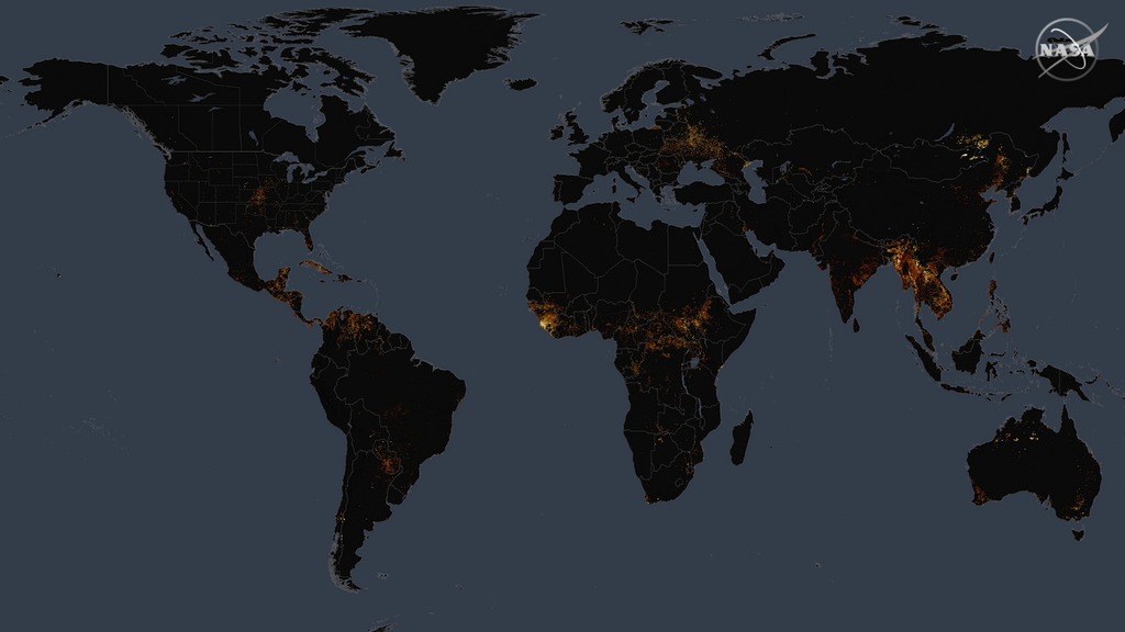
Fires detected by NASA satellites appear as red dots in this video, which shows observations from March 2015 through March 2016.
Smoke rises from two different wildfires in Wyoming in this image taken by NASA’s Aqua satellite on July 27, 2016.
Multiple wildfires are seen in this image of central Russia captured by the NASA-NOAA Suomi NPP satellite on July 18, 2016.
Nearly all of central Africa appears on fire in this satellite image taken on July 11, 2016.
Credits
Please give credit for this item to:
NASA's Scientific Visualization Studio
Satellite images courtesy of NASA/MODIS Rapid Response Team/J. Schmaltz
-
Animators
- Trent L. Schindler (USRA)
- Lori Perkins (NASA/GSFC)
-
Producers
- Claire Saravia (NASA/GSFC)
- Matthew R. Radcliff (USRA)
- Patrick Lynch (Wyle Information Systems)
-
Writer
- Claire Saravia (NASA/GSFC)
Release date
This page was originally published on Thursday, August 18, 2016.
This page was last updated on Wednesday, May 3, 2023 at 1:48 PM EDT.
Sources
- ID: 4484
 Visualization
 - ID: 12330
 Produced Video
 - ID: 12325
 Produced Video