NASA On Air: NASA Launches Jason-3 Satellite To Measure Global Sea Levels And El Niño (1/20/2016)
LEAD: Scientists have a new satellite to help forecasters track El Niño and global sea levels.
-
On Sunday, 1-17-2016, a SpaceX Falcon 9 rocket placed the U.S.-European Jason-3 satellite into orbit.
-
From an altitude of 830-miles Jason-3 will precisely measure the height of 95 percent of the world's ice-free ocean every 10 days.
-
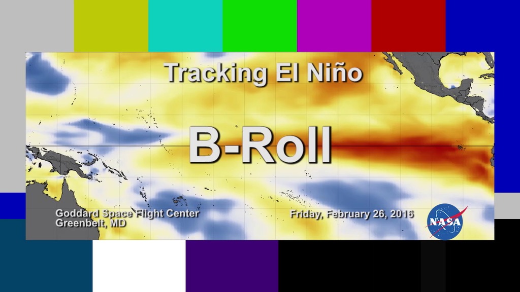
The data will help improve forecasts of hurricanes and El Niño events.
4. Jason-3 will add to a 23-year satellite record of global sea surface heights. Since 1992, researchers have observed a total global sea level rise of 2.8 inches.
TAG: Because it is a measure of both ocean warming and loss of land ice, sea level rise is an important indicator of human-caused climate change.
For More Information
Credits
Please give credit for this item to:
NASA's Goddard Space Flight Center
-
Producer
- Howard Joe Witte (ADNET Systems, Inc.)
-
Video editor
- Sophia Roberts (USRA)
Release date
This page was originally published on Wednesday, January 20, 2016.
This page was last updated on Wednesday, May 3, 2023 at 1:48 PM EDT.
Related
- ID: 12152
 Produced Video