Hypercolor Mosaic
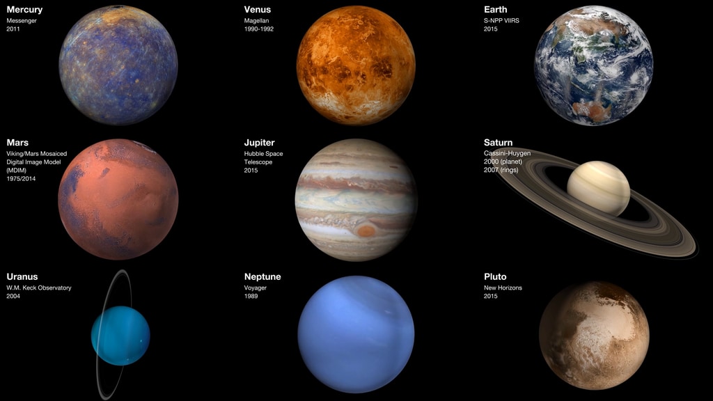
On March 18, 2011, NASA's MESSENGER spacecraft entered orbit around Mercury, becoming the first spacecraft ever to do so. Among the many instruments on this pioneering probe is a wide-angle camera capable of generating high-resolution images of the planet's surface. By stitching thousands of these images together, scientists created the first complete map of Mercury. The result isn't just a pretty picture. The map's enhanced colors, produced by special filters fitted on the camera, tell a story about the chemical, mineralogical and geological history of the innermost planet in our solar system. Young craters, for example, appear light blue or white. Tan regions mark plains formed by lava flows. Dark blue represents areas rich in a dark mineral. Watch the visualization for a tour of this colorful new view of Mercury.

A NASA spacecraft creates the first complete map of Mercury.
Scientists stitched together thousands of images, captured by MESSENGER's wide-angle camera, to create this map of Mercury.
MESSENGER shot images of Mercury using two cameras—a wide-angle camera and a narrow-angle camera. Watch this animation to see how they work.
Images taken by MESSENGER's wide-angle camera and narrow-angle camera were used to create this global mosaic of Mercury's surface.
In this close-up view of the surface, Mercury's jagged topography meets the smooth terrain of a lava flow.
For More Information
See NASA.gov
Credits
Please give credit for this item to:
NASA's Goddard Space Flight Center
Images, visualization and animation courtesy of NASA/Johns Hopkins University Applied Physics Laboratory/Carnegie Institution of Washington
-
Writer
- Alex Kasprak (USRA)
Release date
This page was originally published on Thursday, March 21, 2013.
This page was last updated on Wednesday, May 3, 2023 at 1:52 PM EDT.
Sources
- ID: 30710
 Hyperwall Visual